GIS and Geospatial Solutions
Turn spatial data into actionable insight with mapping, analysis and remote sensing.
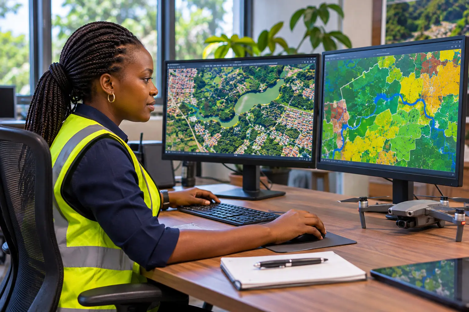
We transform spatial data into actionable insights through GIS mapping, spatial analysis, remote sensing, and environmental mapping to support planning, resource management, and evidence-based decision-making.
What we deliver
- GIS mapping and cartography
- Spatial analysis and modelling
- Remote sensing and satellite imagery analysis
- Land use and land cover change analysis
- Environmental sensitivity and site suitability mapping
- Maps and spatial data for ESIAs and project planning
How we work
- Step 1
Understand
We listen, review your project and agree a clear scope.
- Step 2
Assess
Field work, data collection and expert analysis.
- Step 3
Recommend
Clear, practical findings you can act on.
- Step 4
Support
Help with implementation, follow-up and monitoring.
The value to you
- Better-informed planning and site selection
- Clear visual evidence for reports and stakeholders
- Smarter management of land and natural resources
Ideal for
- Government bodies
- Infrastructure developers
- Organizations
- Researchers and planners
Let's find the right solution for your project.
Whether you need an environmental assessment, a compliance audit, GIS analysis, a waste management plan, HSE support, environmental monitoring or any other environment-related service, we welcome the opportunity to understand your needs. Get in touch to discuss your requirements and request a proposal.